
Newly updated satellite imagery from Google Earth shows the near‑total destruction of large areas of southern Gaza, where entire neighborhoods, cemeteries, and civilian landmarks have been flattened or replaced by Israeli military installations.
The 2026 images offer one of the clearest visual records to date of what analysts describe as the systematic dismantling of Gaza’s urban and cultural landscape.
From a distance, Gaza appears as muted patches of gray and sand. But as the satellite lens moves closer, the abstraction gives way to stark scenes of devastation — cities reduced to rubble, neighborhoods erased, and cemeteries bulldozed beneath military encampments.
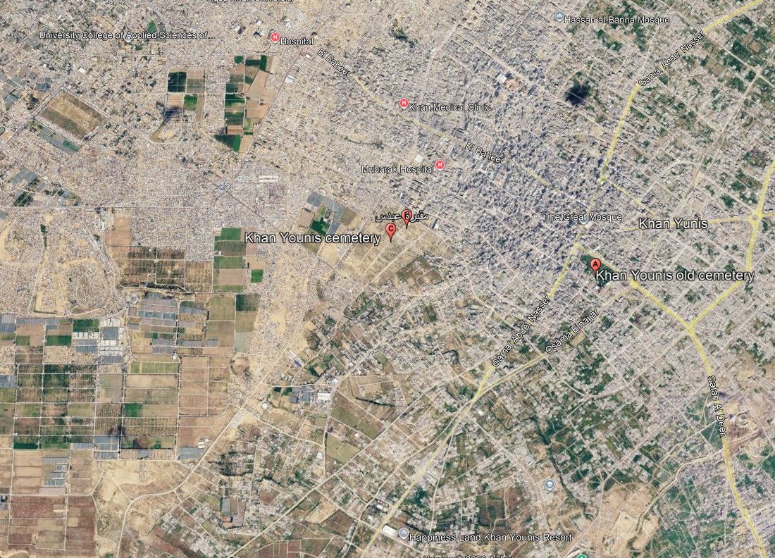 Google’s latest satellite update, released on May 22, 2026, documents this transformation in unprecedented detail.
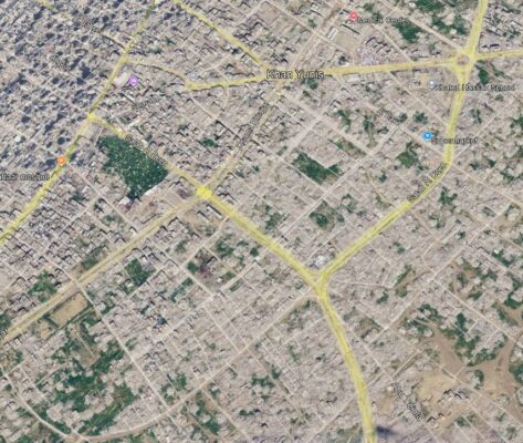
The new imagery of central and southern Gaza — particularly Khan Younis and Rafah — captures the aftermath of Israel’s prolonged assault and the emergence of fortified military zones atop civilian ruins.
One of the most striking revelations appears in Ma‘an, east of Khan Younis, where Israeli forces have established a military site directly over the Sheikh Mohammad Cemetery.
Graves clearly visible in 2022 have been razed; tents, vehicles, and military infrastructure now occupy the ground where the dead once rested.
Journalist Mohannad Qeshta, speaking to Al‑Jazeera Net, described the scene as “a wound that never heals.” Qeshta, who lost two sisters buried in Rafah, said families now fear returning to find their loved ones’ graves erased entirely. “Even the dead are not spared,” he said.
The Euro‑Med Human Rights Monitor estimates that 94 percent of Gaza’s cemeteries have been destroyed or damaged — part of what the organization describes as a campaign targeting both the living and the dead.
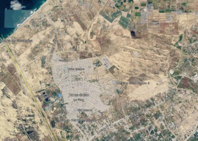
Across Rafah, in Gaza’s southmost area, the devastation is sweeping. Once‑vibrant districts such as al‑Jeneina, as‑Salam, Khirbet al‑Adas, and az‑Zohour have been flattened, leaving no visible boundaries between neighborhoods.
The Saudi Housing Project in Tel al‑Sultan — 752 residential units, schools, and public facilities — has been reduced to a vast field of rubble surrounded by Israeli military positions.
The Rafah Crossing, once Gaza’s only gateway to the outside world, now resembles a fortified military roadblock lined with fences, watchtowers, and military posts.
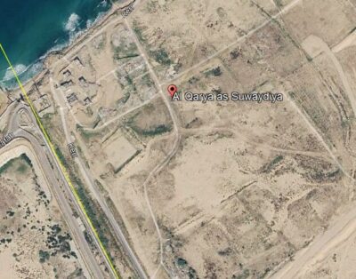
To the west, the Swedish Village has been wiped from the map, replaced by tents and surveillance towers; only five homes remain standing.
Qeshta noted that satellite images cannot capture human loss beneath the ruins. “They show collapsed buildings, but not the toys, notebooks, and memories buried underneath,” he said.
In Khan Younis, the once‑modern Hamad Residential City, built in 2012 with Qatari funding, lies in ruins. Most towers and public facilities have been destroyed, and displaced families now live among the wreckage.
Eastern districts — including Bani Suhaila, Abasan, and az‑Zanna — have been carved up by Israeli tanks and military roads designed to entrench control and prevent residents from returning.
The updated imagery offers stark, independently verifiable evidence of Gaza’s transformation into a landscape of military outposts and displacement camps — a reality humanitarian groups describe as urban erasure.
Sources:
This article is based on reporting from Al‑Jazeera Arabic, May 2026. Original Arabic report: Al‑Jazeera.
Related English coverage: “Satellite images reveal Israel expanding Gaza military sites”, Al‑Jazeera English, April 19, 2026.
